
Starting to fill in!
Quick reportinfo · Dec 21, 2025 · East Island
Quick report
- Weather
- cold, stormy, sunny, windy
- Ride Type
- mellowSlopes, openTrees
- Stayed Away
- alpineSlopes, convexSlopes, steepSlopes
- Riding Quality
- good
- Snow Conditions
- powder
- Avalanche Conditions
- avalancheConditionSlab, avalancheConditionSnow, avalancheConditionSound
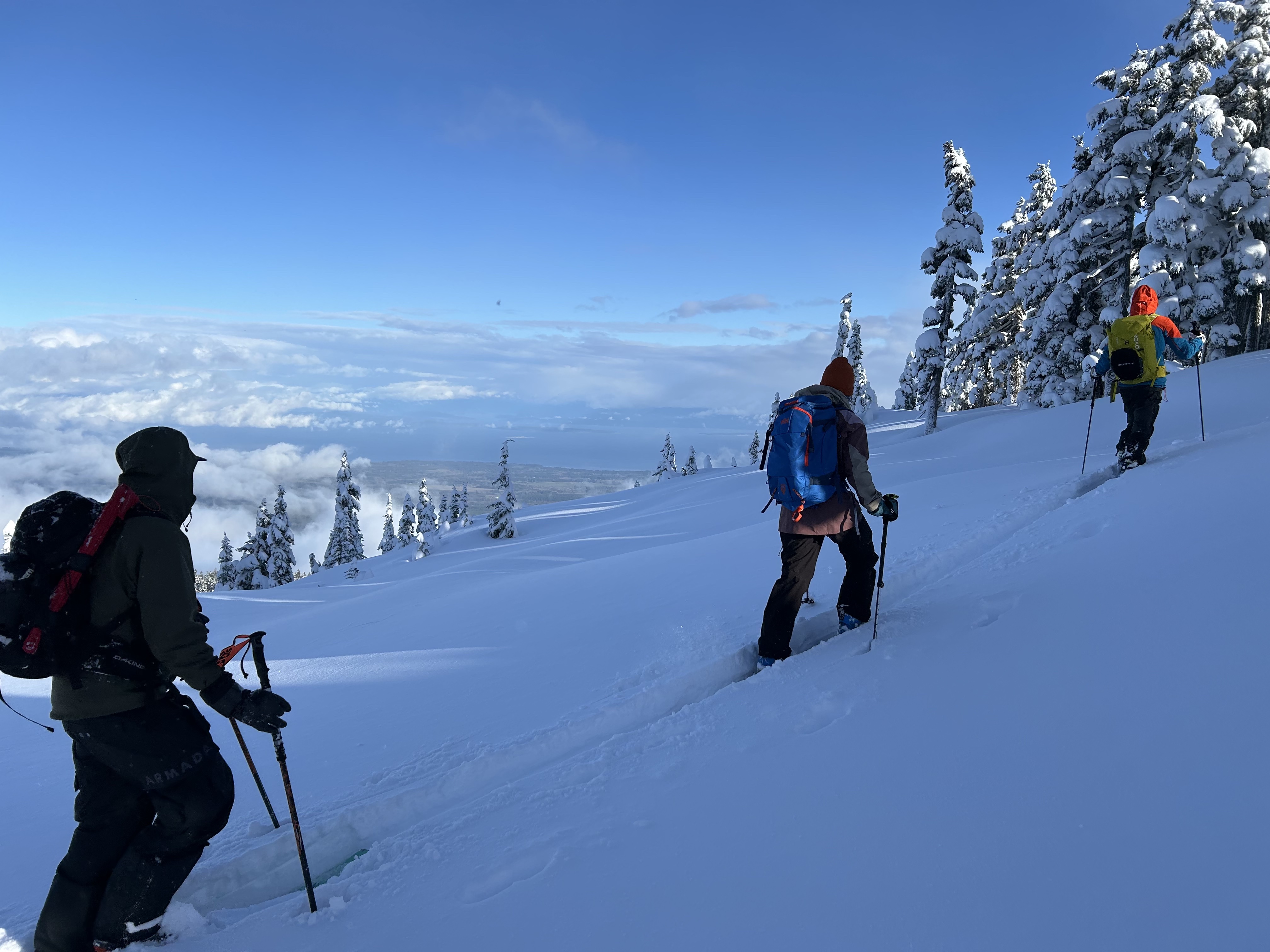
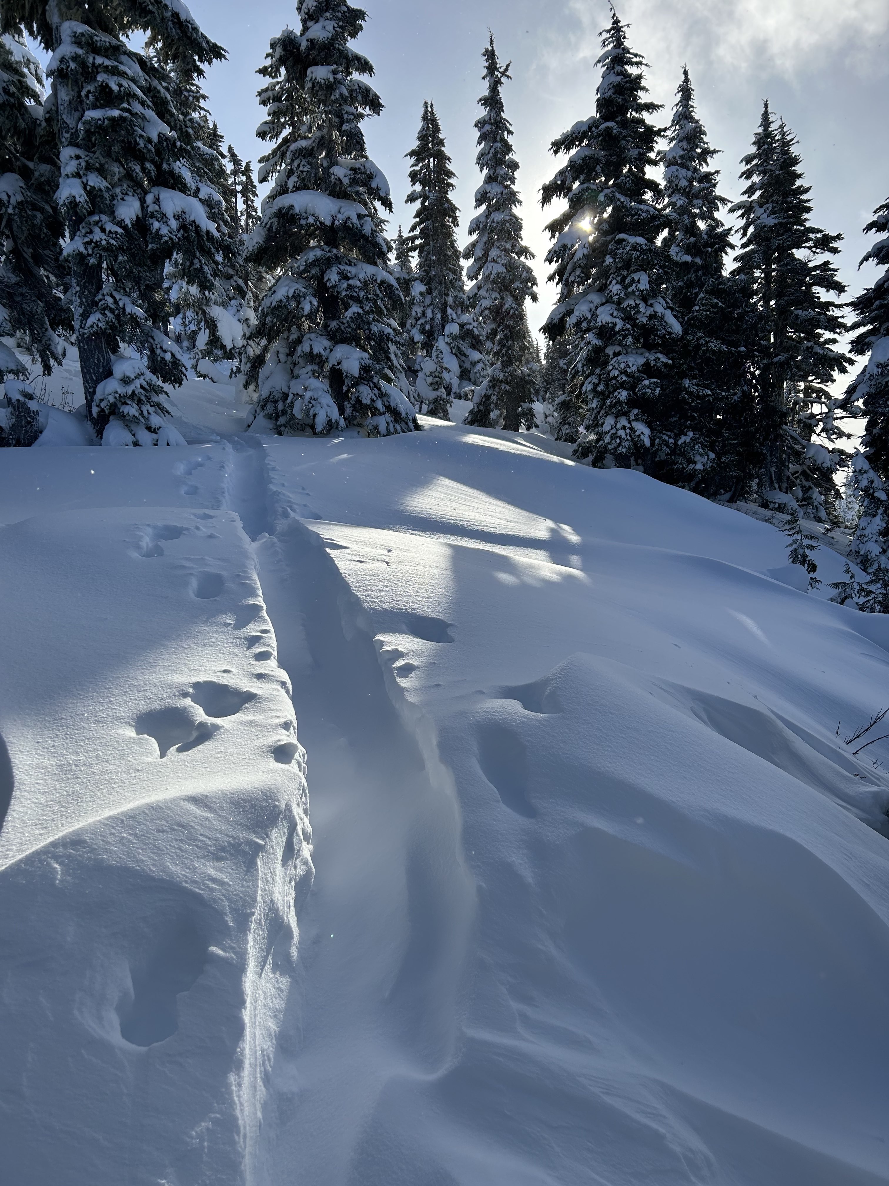
Quick moving weather today brought periods of snow squalls interspersed with sun and good visibility. Still very early season conditions, but starting to fill in, particularly above 1400m where some snow survived the recent rains, and now exists as 20-25cm melt-freeze crust at the base of the snowpack, with a range of 40-100cm on top of that, depending on aspect and elevation. Island Alpine Guides accesses the Mount Washington backcountry under agreements with the landowners and operators.
Snowpack
- Obs Type
- summary
- Site Aspect
- N, S, W
- Test Fracture
- resistant
- Site Elevation
- 1400
- Ski Penetration
- 40
- Test Initiation
- easy
- Cracking Observed
- 1
- Test Failure Depth
- 30
- Site Elevation Band
- tln
- Surface Conditions
- newSnow
- Test Failure Layer Crystal Types
- stormSnow
Easy shears observed in low density storm snow, most failing down 30cm on density change.
Avalanche
- Run Length
- 30
- Trigger Type
- natural
- Wind Exposure
- leeSlope
- Avalanche Size
- 1
- Start Zone Aspect
- N, W
- Vegetation Cover
- openSlope
- Avalanche Character
- stormSlab
- Number Of Avalanches
- 2-5
- Avalanche Observation
- 24to48hrsAgo
- Weak Layer Crystal Type
- stormSnow
- Start Zone Elevation Band
- tln
- Avalanche Occurrence Datetime
- 2025-12-21T17:34:00.000Z
Multiple size 1 natural avalanches observed today on steep lee slopes at TL.