
Brandywine Season-Opener Bowl
Quick reportSid Smith · Oct 28, 2024 · South Coast Inland
Quick report
- Weather
- cloudy, foggy, sunny, warm
- Ride Type
- alpineSlopes, convexSlopes, mellowSlopes, steepSlopes, sunnySlopes
- Stayed Away
- steepSlopes, sunnySlopes
- Riding Quality
- good
- Snow Conditions
- crusty, deepPowder, heavy
- Avalanche Conditions
- avalancheConditionSlab, avalancheConditionSnow, avalancheConditionSound, avalancheConditionTemp
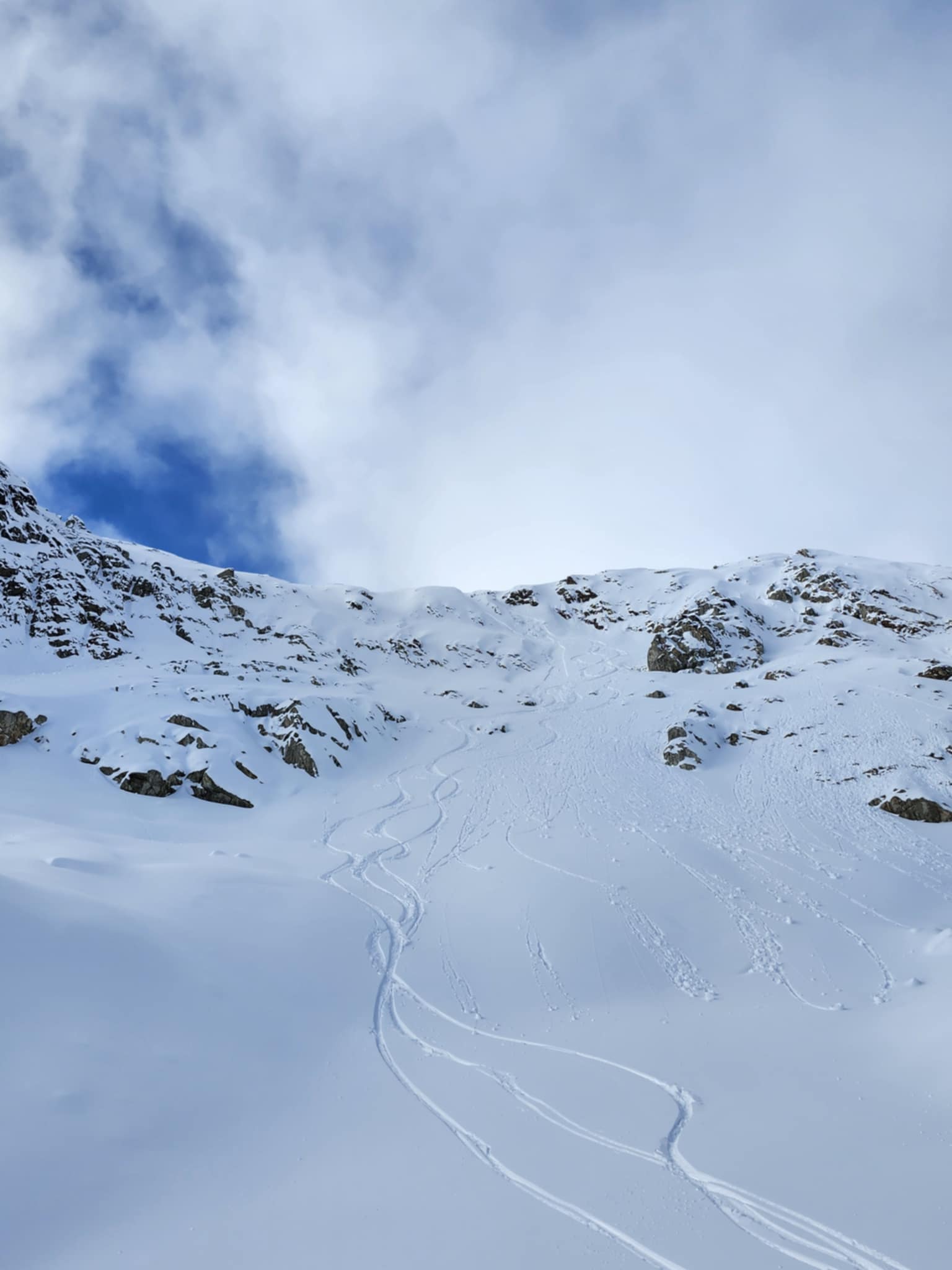
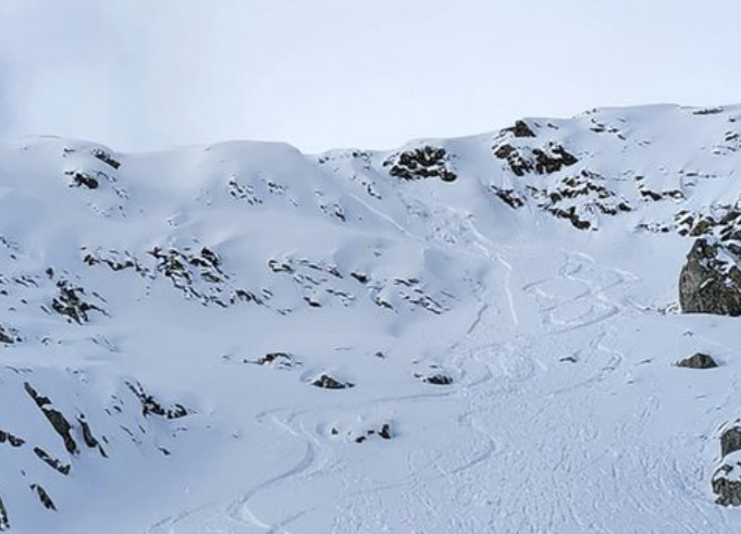
We rode a north facing bowl off of the South ridge of Brandywine mountain as well as some E & SE open slopes. We stuck to smaller terrain features where potential slab size was minimized, as surprisingly, we observed multiple signs of instability even in the very new snowpack. Roller-balls were widespread after the sun broke through the clouds for a few hours midday, making the snowpack heavier and creating an extremely thin zipper crust at lower elevations that wasn't thick enough to impact skiability, or provide much support.
Snowpack
- Depth
- 95
- Obs Type
- point
- Site Aspect
- E
- Site Elevation
- 1930
- Ski Penetration
- 35
- Foot Penetration
- 70
- Site Elevation Band
- alp
- Surface Conditions
- crust, newSnow, variable
- Whumpfing Observed
- 1
Near ridge-top at 1900m we probed 95cm of snowpack with a breakable rain crust down about 75cm. The ridge-top snowpack was not very wind-affected, the last part of the storm at least falling during calm weather. It snowed lightly on and off throughout the day and had started snowing moderately hard by the time we got back to our vehicles. The freezing line had moved down as snow was falling as low as 1200m on the drive out although not accumulating at low elevations.
Avalanche
- Run Length
- 20
- Slab Width
- 3
- Trigger Type
- skier
- Wind Exposure
- leeSlope
- Avalanche Size
- 1
- Slab Thickness
- 12
- Trigger Sub Type
- accidental
- Start Zone Aspect
- NE, SE
- Vegetation Cover
- openSlope
- Start Zone Incline
- 40
- Avalanche Character
- stormSlab, wetSlab, windSlab
- Number Of Avalanches
- 2-5
- Start Zone Elevation
- 2030
- Runout Zone Elevation
- 2015
- Weak Layer Burial Date
- 2024-10-28
- Avalanche Observation
- 12to24hrsAgo
- Weak Layer Crystal Type
- stormSnow
- Start Zone Elevation Band
- alp
- Avalanche Occurrence Datetime
- 2024-10-28T20:45:00.000Z
Upon at the top of the ski line, we observed shooting cracks (only 2-3m long but still indicating the snow was breaking off in chunks and not just sluffing) and triggered a small wind-slab, although it was only small due to terrain choice. We observed them only being triggerable on terrain over about 35 degrees. I believe large, steep faces had the potential to produce sizeable avalanches that would have been high consequence due to the thin snowpack. Farther down we were able to trigger some more small point release slides on small Eastern facing sun exposed pitches. I believe riding anything large and steep could have had a pretty bad outcome hence the choice of sticking to smaller terrain. We observed one size 1 natural point release wet loose that had happened recently, likely triggered by a roller-ball falling off a cliff band at 1800m. Some mild whumphing was audible near ridge-top at 1900m