
East Boulder Creek area
Quick reporttrowbridge.a.s · Jan 21, 2024 · North Bulkley
Quick report
- Weather
- cloudy
- Ride Type
- mellowSlopes, openTrees
- Stayed Away
- alpineSlopes, convexSlopes
- Riding Quality
- good
- Snow Conditions
- powder, windAffected
- Avalanche Conditions
- avalancheConditionSlab
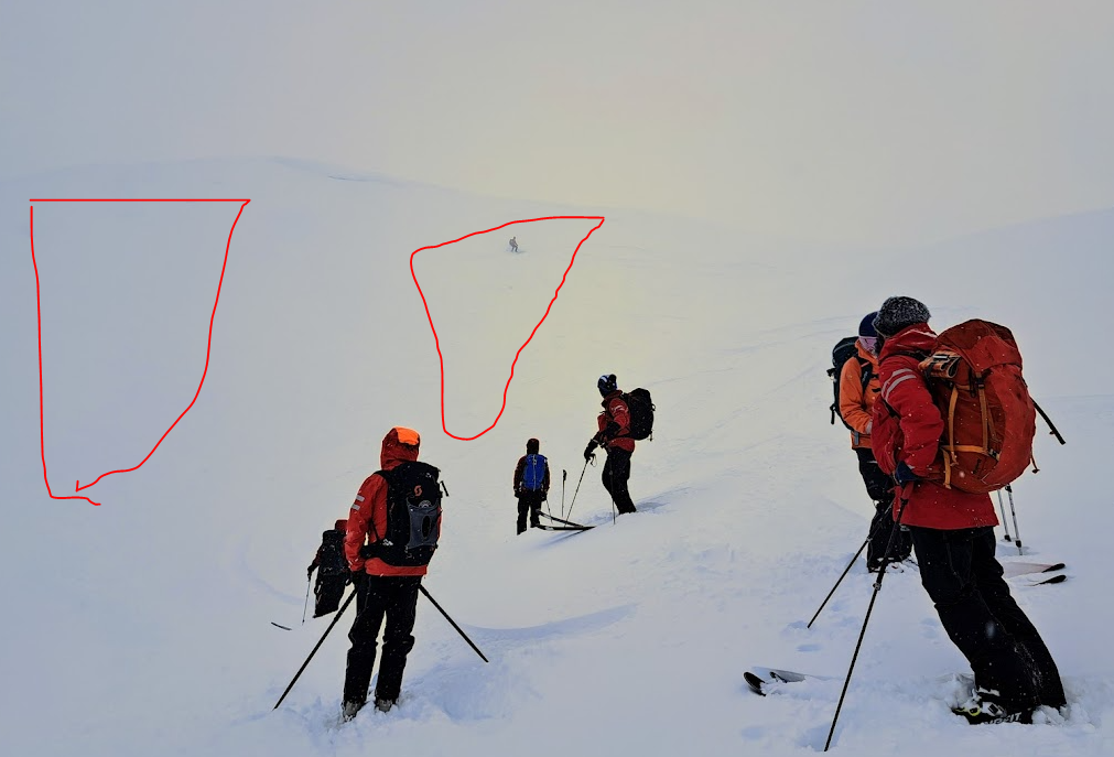
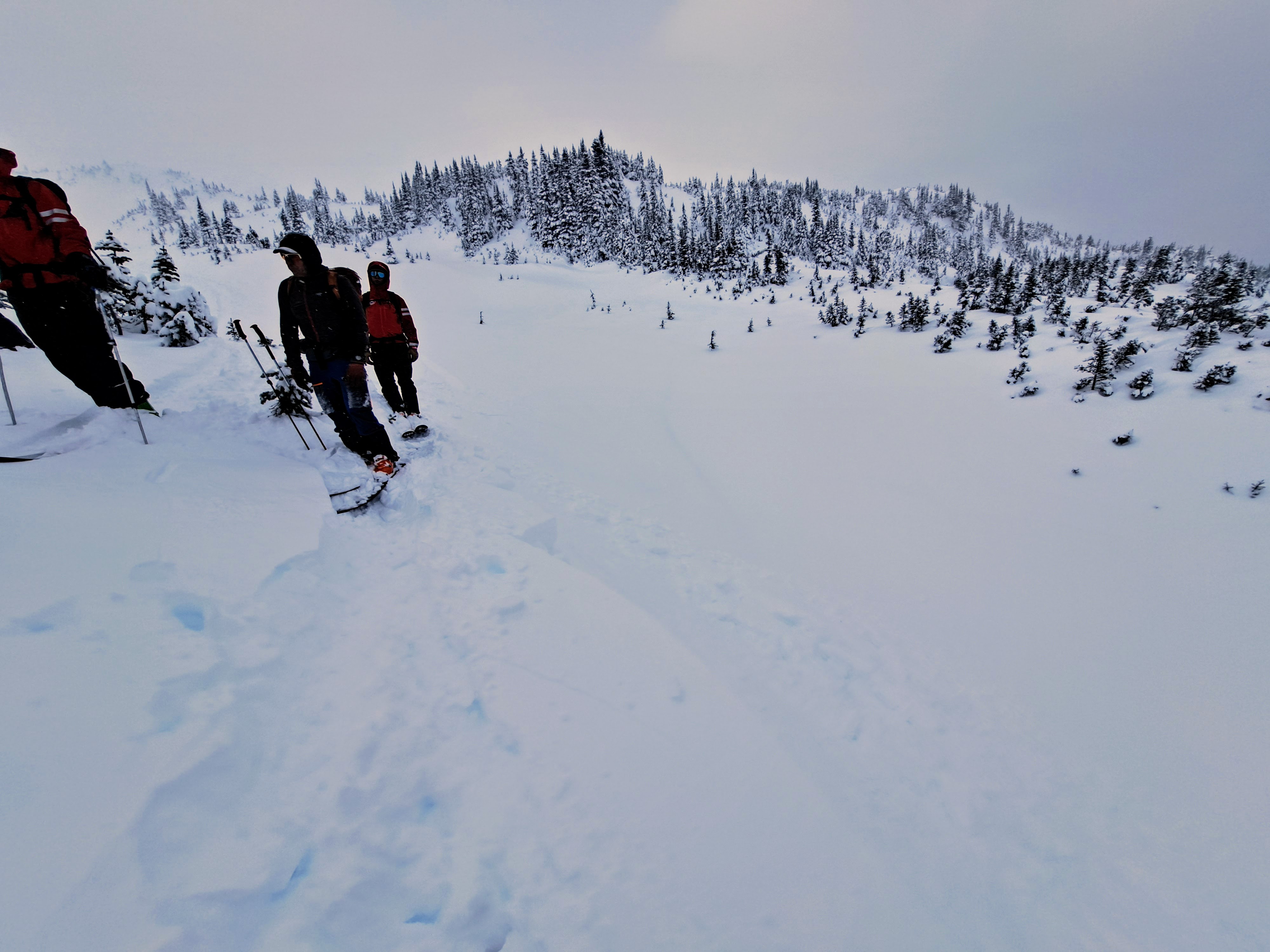
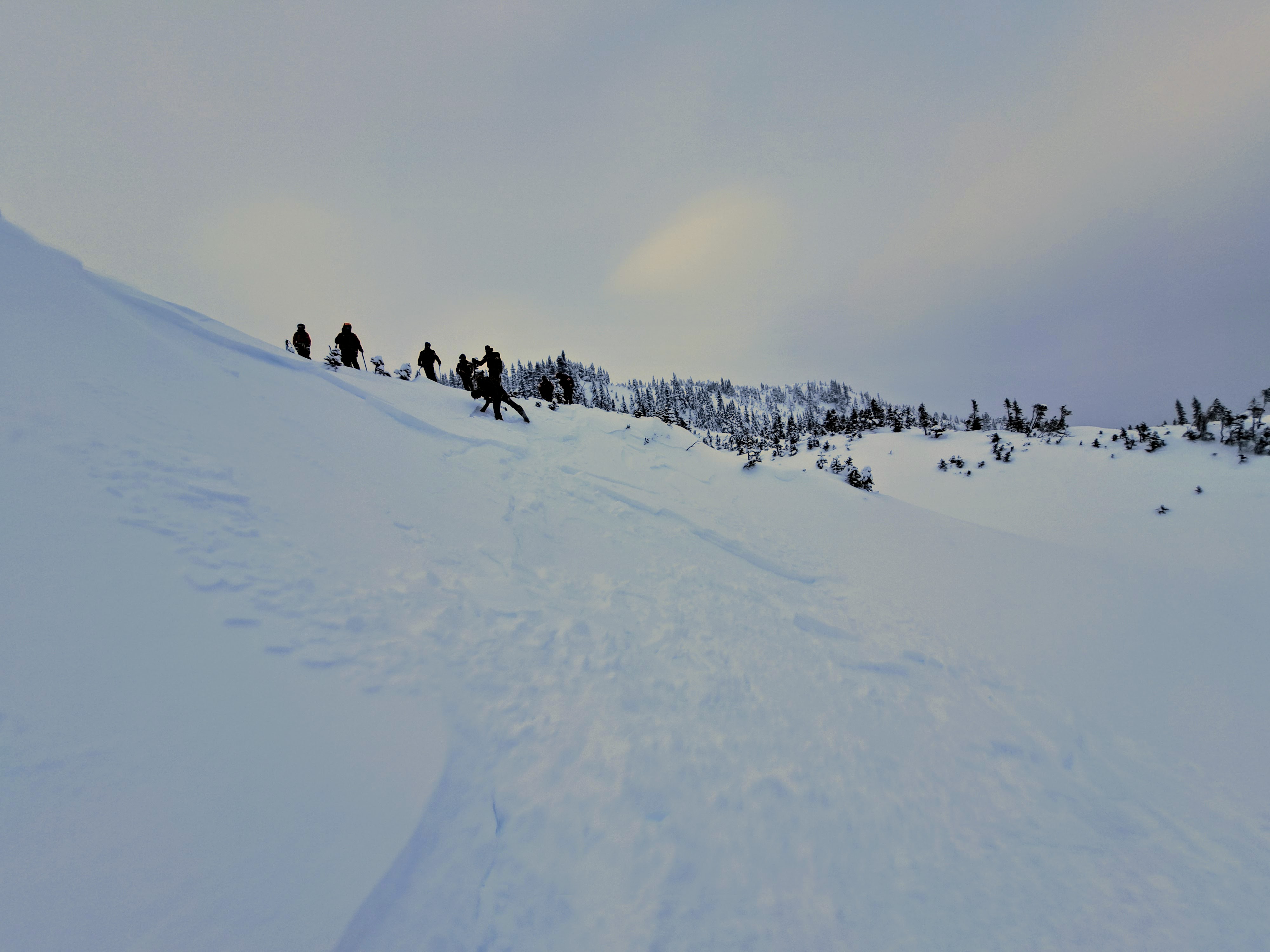
SAR training day in East Boulder area. We traveled through a several basins BTL (~1350m) to upper TL (~1650m) on generally northeasterly through southeasterly aspects. Visibility precluded alpine travel or alpine observations. Winds light in the morning but increasing throughout the day (as a cold front moved through?) finishing with moderate to strong southerlies. Temperatures started about -2 cooling slightly through the day. Sky was obscured throughout, with very light snow and minimal accumulation. ------------- HST from last 48hr only ~5cm. Old surfaces highly variable: where exposed to outflows the old surface was faceted pencil hard windboard. Elevation and location of these exposed outflow surfaces varied significantly depending on local topography, not always intuitive where it would be. Where not exposed to outflows BTL in open trees, ski pen was ~20cm with a very faint (humidity, temp?) crust below the recent HST. Good skiing in these sheltered locations. --------------- One hasty snow pit at 1500m on a sheltered NE aspect showed HS ~130cm with ECTX and CTH down ~80. Some preserved surface hoar from Nov was identified, but no test results on that layer. Snowpack heavily faceted and variable depth. ---------------- In the morning, recent storm snow was not showing slab properties. By mid afternoon and wind increase small touchy wind slabs 3-15cm deep were forming. We easily ski cut ~5x sz 0.5-1.0 windslabs on lee features at TL and BTL on lower avalanche paths running easily but not far on the old hard facet surfaces. Downslope winds were strong and micro features on lower avalanche paths were loading and touchy. ---------------- My take away is caution in the time ahead facing the challenge of field identification of the variable locations of a) wind depositions showing up in lower than expected and micro features, and b) variability of where those old stiff faceted outflow wind surfaces would be found and difficulty in identifying them once covered.
Avalanche
- Trigger Type
- skier
- Wind Exposure
- downFlow
- Avalanche Size
- 1
- Trigger Sub Type
- intentional
- Start Zone Aspect
- NE
- Vegetation Cover
- sparseTrees
- Avalanche Character
- windSlab
- Crust Near Weak Layer
- 1
- Number Of Avalanches
- 2-5
- Avalanche Observation
- 12hrsAgo
- Weak Layer Crystal Type
- facets, surfaceHoarAndFacets
- Start Zone Elevation Band
- tln
- Avalanche Occurrence Datetime
- 2024-01-21T22:26:00.000Z
In the morning, recent storm snow was not showing slab properties. By mid afternoon and wind increase small touchy wind slabs 3-15cm deep were forming. We easily ski cut ~5x sz 0.5-1.0 windslabs on lee features at lower alpine, TL and BTL on open lower avalanche paths running easily but not far on the old hard facet surfaces. Downslope winds were strong and micro features on lower avalanche paths were loading and touchy.