
What's Below the Storm Snow...
Quick reportAVCAN FORECASTER · Feb 2, 2026 · Central Selkirk
Quick report
- Weather
- cloudy
- Ride Type
- denseTrees, openTrees, steepSlopes
- Stayed Away
- alpineSlopes
- Riding Quality
- good
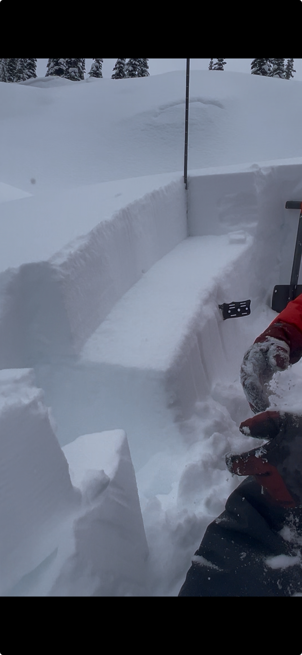
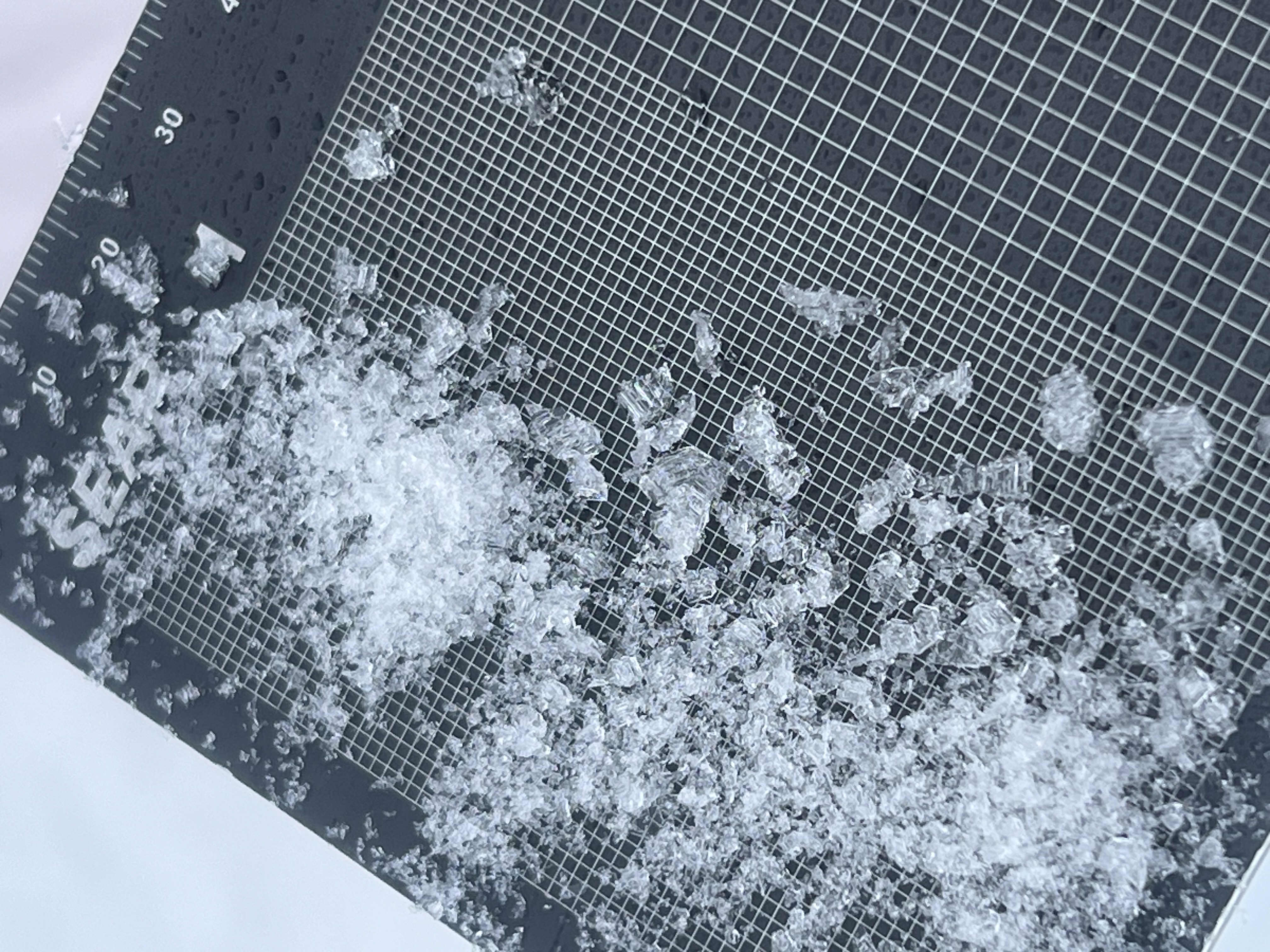
Curious about the late January interface below the recent storm snow.
Snowpack
- Depth
- 254
- Obs Type
- point
- Site Aspect
- N, NW
- Test Fracture
- resistant
- Site Elevation
- 1950
- Site Elevation Band
- tln
- Surface Conditions
- newSnow
- Test Failure Layer Crystal Types
- crust, facets, stormSnow, surfaceHoar
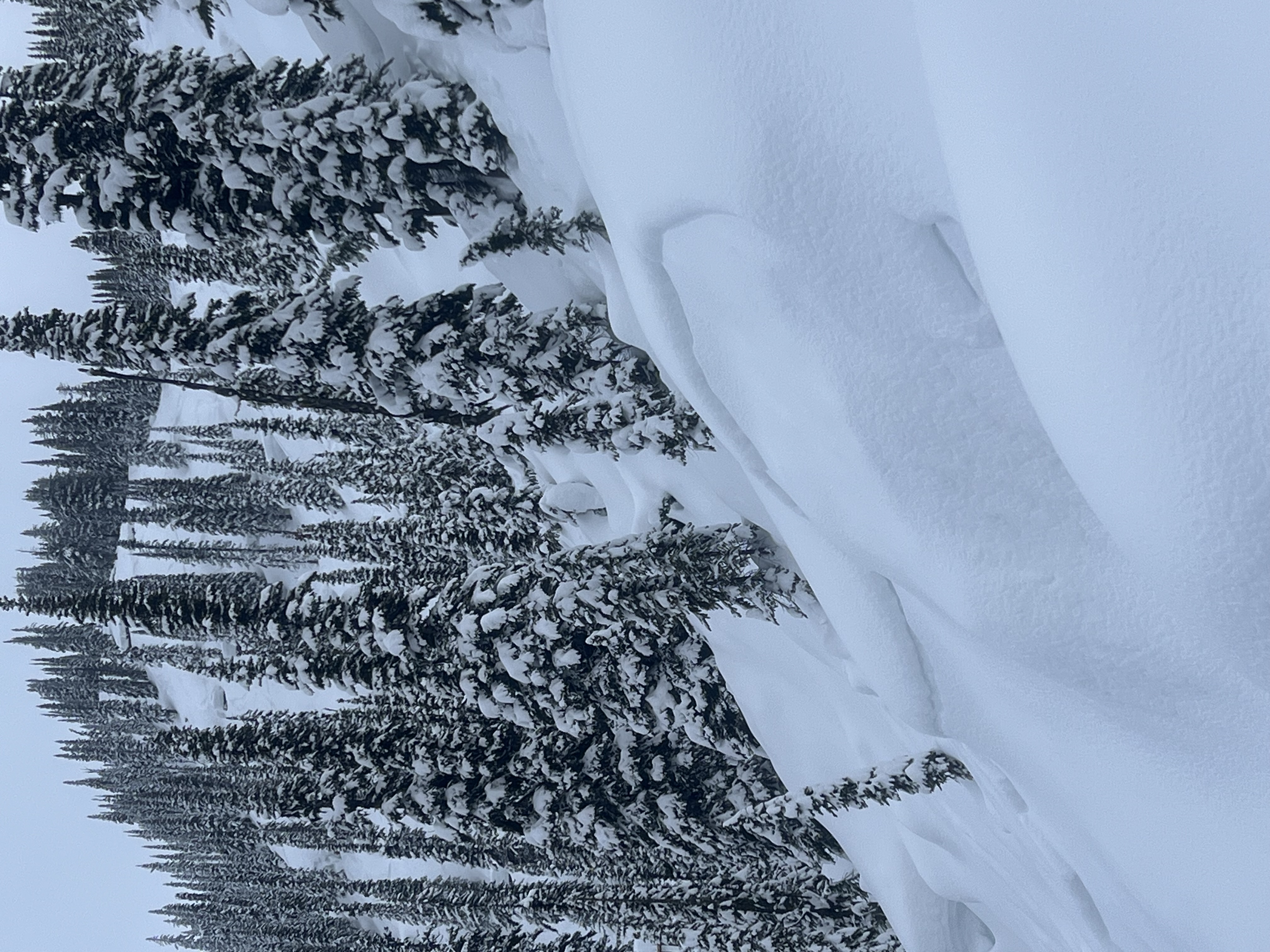
Went out to investigate the bond or lack of bond of the late January interface beneath the recent storm snow. We found a great spot where natural activity occurred over the weekend (Jan 31) failing on the layer that we are most curious about. We did several propagation saw tests and extended column tests at 1950 m on steep NW and N aspects. All ECTN's and PST ~60/100 End. These results did not "pop" or "drop" for us, and we gained some confidence on that particular slope. However, the layer of concern is widespread in the forecast region and may be waiting for a human trigger elsewhere.
Avalanche
- Trigger Type
- natural
- Avalanche Size
- 1
- Slab Thickness
- 30
- Start Zone Aspect
- N, NW
- Vegetation Cover
- openSlope
- Start Zone Incline
- 30
- Avalanche Character
- stormSlab
- Crust Near Weak Layer
- 1
- Number Of Avalanches
- 2-5
- Start Zone Elevation
- 2000
- Weak Layer Burial Date
- 2026-01-26
- Avalanche Observation
- 24to48hrsAgo
- Weak Layer Crystal Type
- stormSnow, surfaceHoarAndFacets
- Start Zone Elevation Band
- tln
- Avalanche Occurrence Datetime
- 2026-01-31T21:55:00.000Z
We observed some older natural avalanche activity that occurred in the riding area we wanted to investigate. We suspect these happened during the storm over the weekend (Jan 31)