
Mount Shasta - South and East Side Photos
Quick reportChristian Jordan · Jul 13, 2026 · Mount Shasta
Quick report
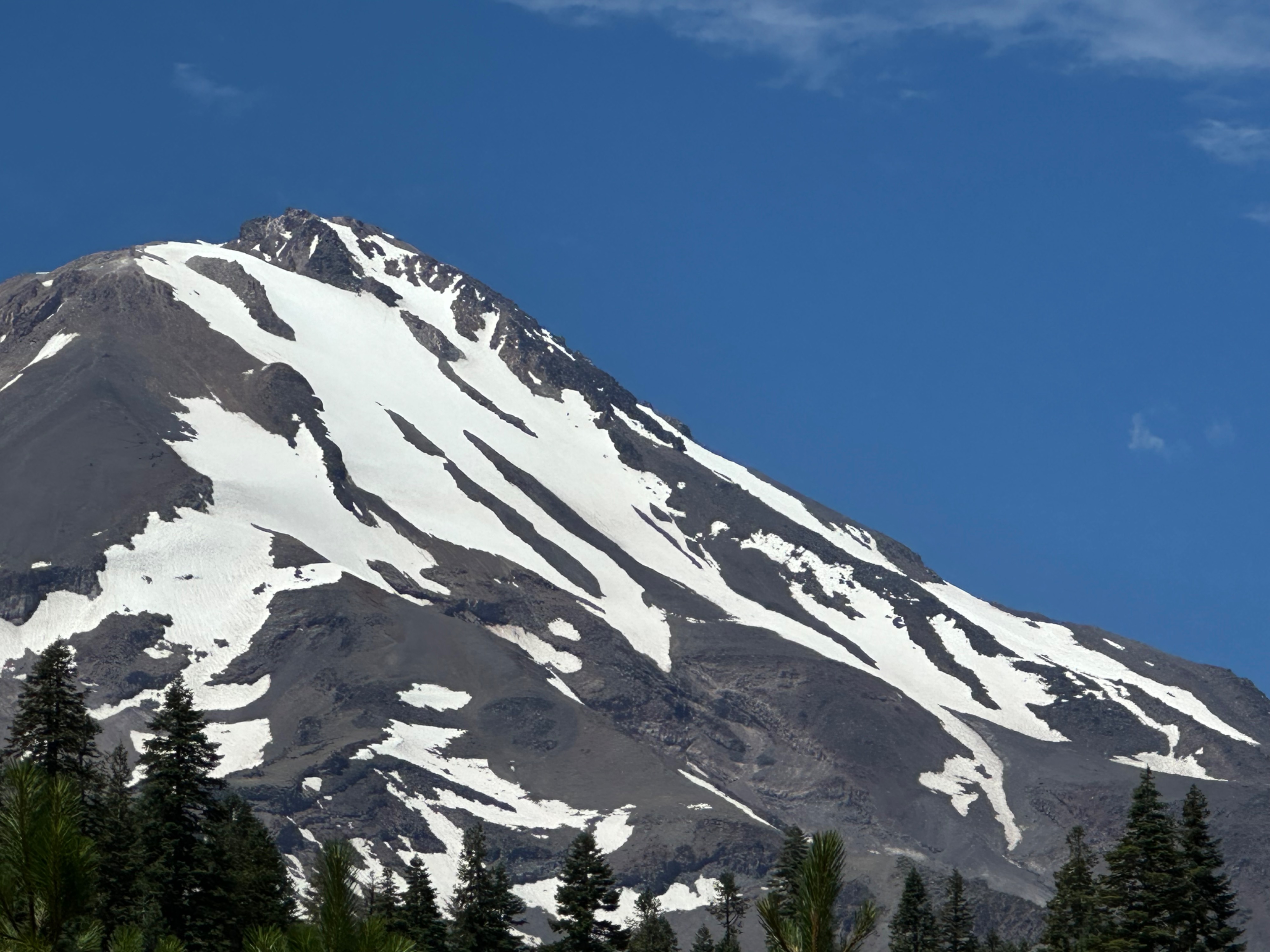
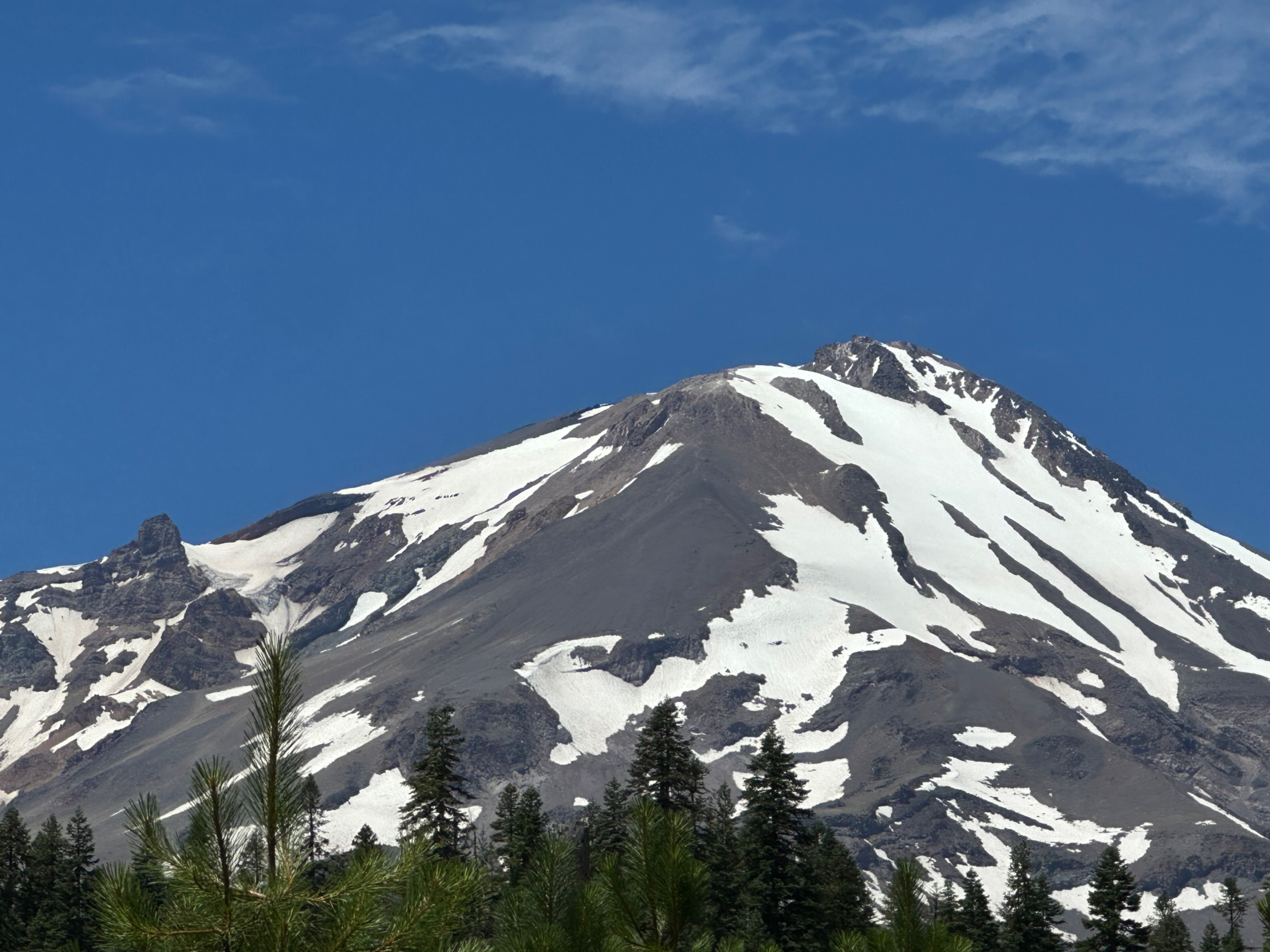
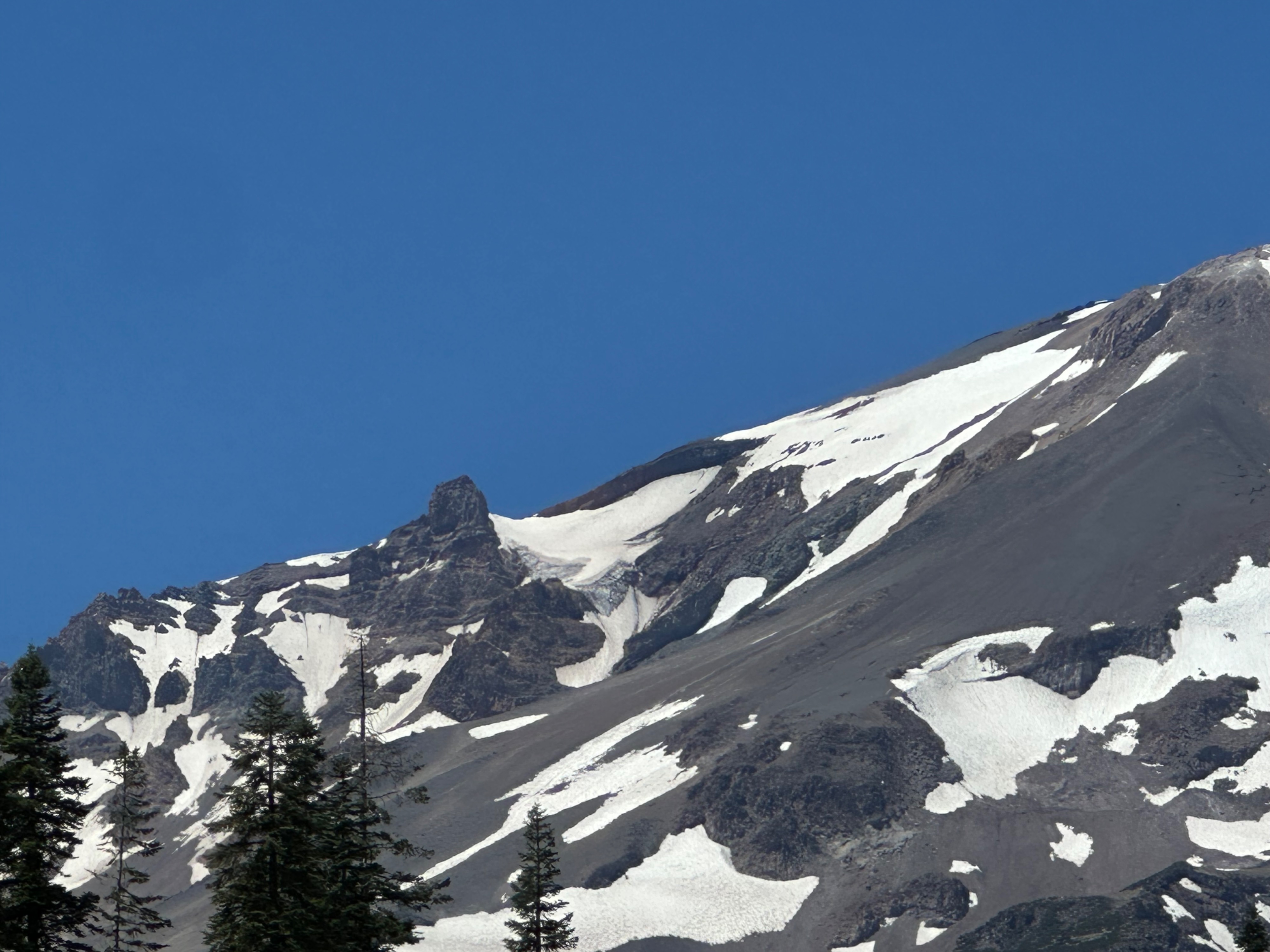
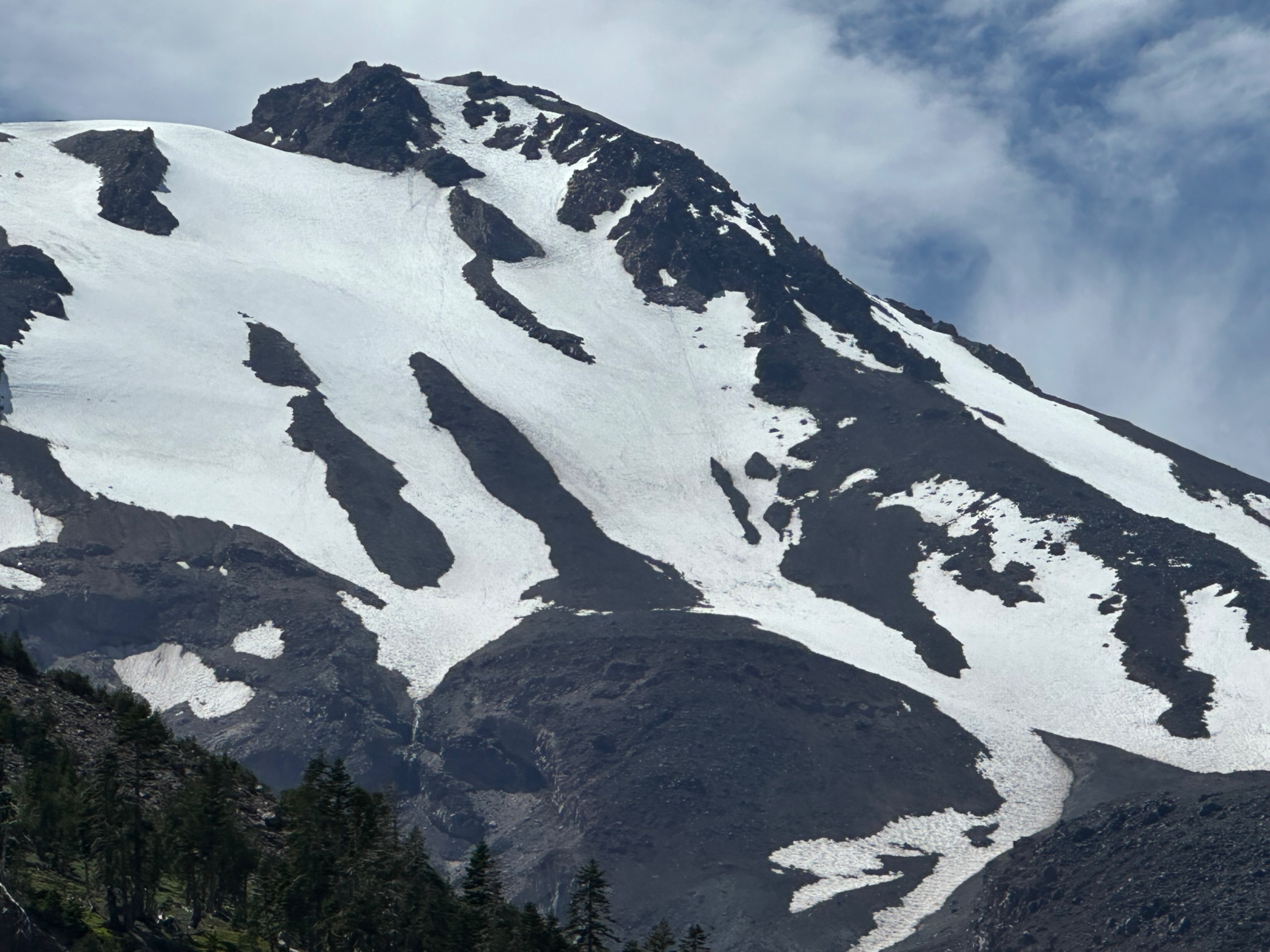
Photos from recent outings on the south and east sides of Mount Shasta.
Clear Creek - most of the route is melted out, though small patches of snow or ice remain. Boot traction is still recommended — crampons are the best. Helmets are required.
It is essential to stay on-route. Mud Creek Canyon and the Wintun Glacier lurk to either side of the route (see photos) - these are examples of extreme terrain that require the necessary skills, experience, and a full mountaineering kit. As always, watch the weather closely before and during a climb. Clouds can develop on the upper mountain and obscure visibility even when the forecast calls for sunny skies. Never ascend into a whiteout, know where you are on-route, and have a backup method of navigation.
Remember: there is no actual trail to the summit of Mount Shasta. Lines on any map represent suggested routes. Route‑finding decisions must be made in the field based on current conditions, your skill level, and your judgment.
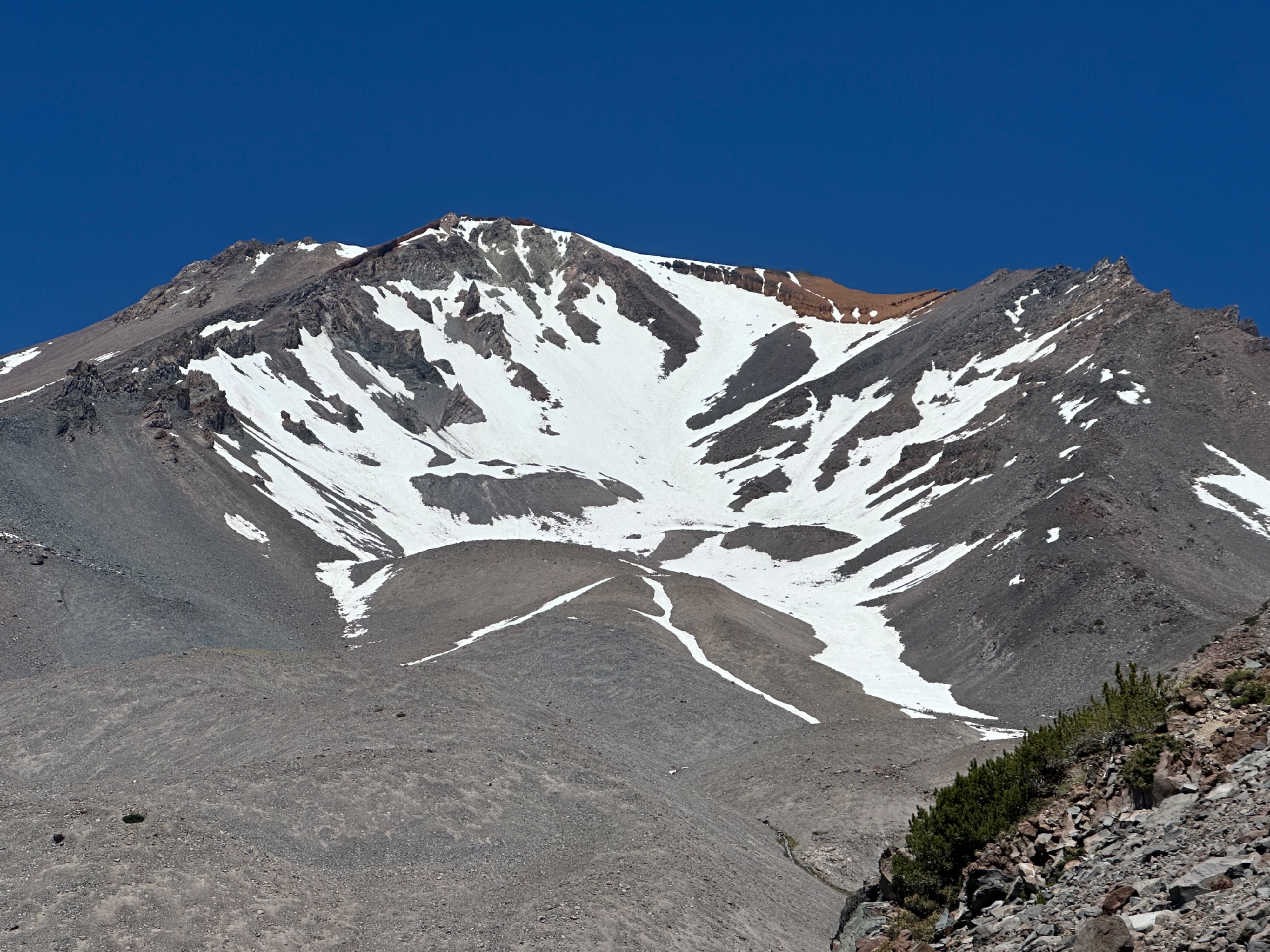
Avalanche Gulch - the route is well past its prime. Rockfall hazard has increased on the upper mountain as snow continues to melt. You may not encounter any falling rocks, or you may encounter one that leads to a life‑changing situation. The decision to climb is yours. Solid skills with an ice axe and crampons, including self-arrest, are mandatory. Helmets are also required. If you choose to climb, the Left of Heart variation is the best option at the moment to climb above the Redbanks. However, this is a steeper and more exposed route and is not recommended for novice climbers.
Thank you for doing your part to help keep Mount Shasta clean!
Check the updated Climbing Advisory for more details about climbing Mount Shasta.