
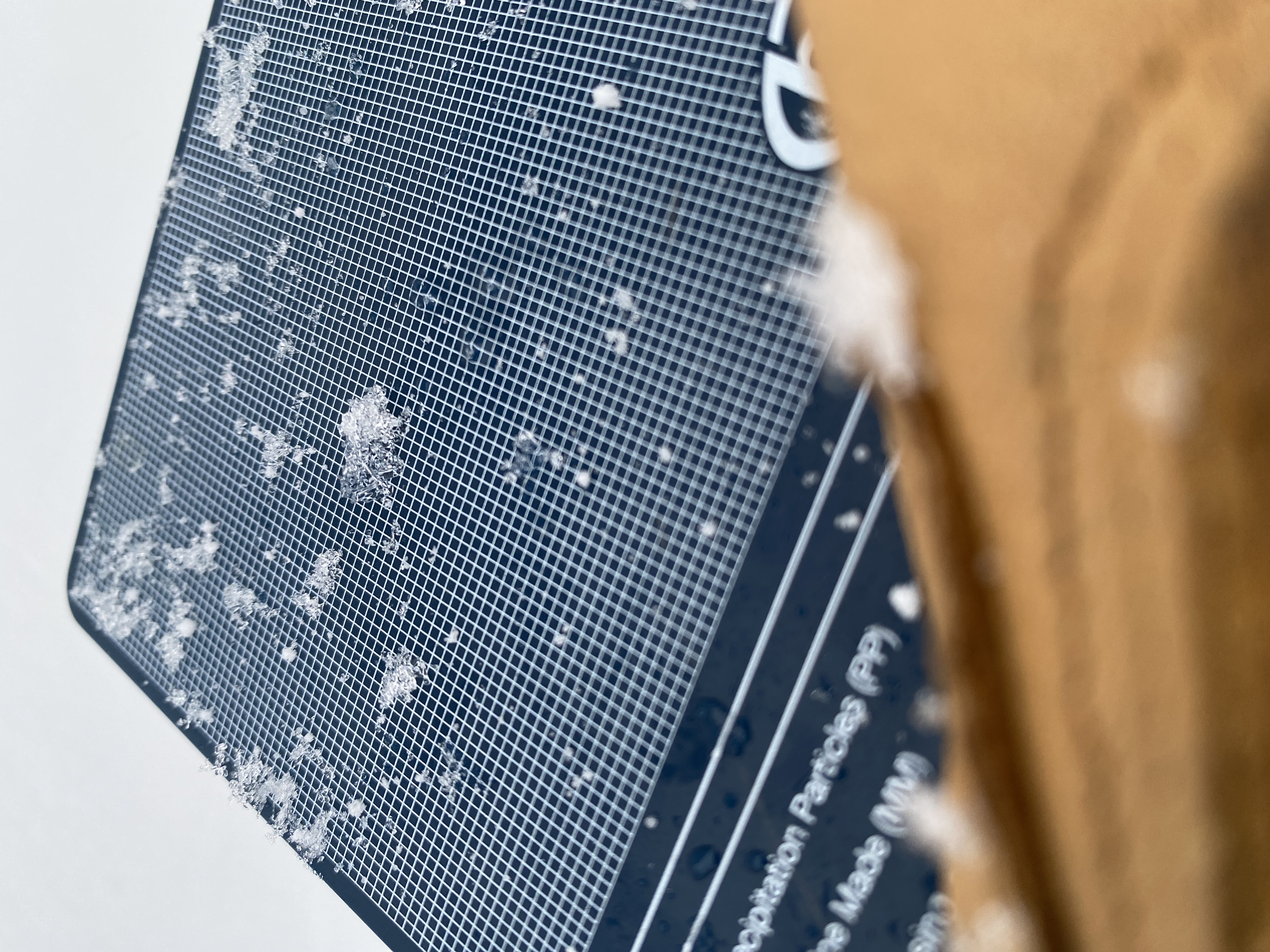
Fact finding mission…Is there Surface Hoar present? The answer is Yes
Quick reportfbr · Dec 23, 2023 · Quesnel
Quick report
- Weather
- warm, windy
- Ride Type
- mellowSlopes, denseTrees, cutBlocks
- Riding Quality
- good
- Snow Conditions
- heavy, wet
- Avalanche Conditions
- avalancheConditionSnow, avalancheConditionTemp
It is pretty skinny for this time of year that’s for certain. The snow is isothermic below treeline, but by end of day began to harden up as the cold front moved in. Same can be said for almost all moist snow found today all the way up to 1600m give or take. The wind came through around 1030 and I turned tail to sheltered terrain lower. Typical Cariboo, went back up after an hour and it had settled down after bringing 5cm and blowing it onto the North East aspect in this feature. Ok skiing, bottom is extremely challenging and if it firms up to a breakable crust…I’m out!
Weather
- Avg Temp
- 0
- Max Temp
- 5
- Min Temp
- -2
- Wind Speed
- windSpeedStrong
- Blowing Snow
- intense
- Rainfall Rate
- drizzle
- Sky Condition
- overcast
- Snowfall Rate
- 1
- Wind Direction
- S
- New Snow24 Hours
- 10
- Storm Start Date
- 2023-12-21
- Storm Snow Amount
- 10
- Temperature Trend
- falling
- Precipitation Type
- mixedSnowRain
- Precipitation24 Hours
- 25
Around 1030 Mother Nature brought in some strong winds and pushed me down into the trees. Snowfall continued during this period with intense wind transport. The wind event ended locally around 1300 as the storm tapered off. Further dribs and drabs as the cold front moved in. Day ended at -2 at 1036m 1700hrs and clearing (SCT).
Snowpack
- Depth
- 120
- Obs Type
- summary
- Site Aspect
- W, N
- Test Fracture
- sudden
- Site Elevation
- 1730
- Ski Penetration
- 5
- Test Initiation
- moderate
- Test Failure Depth
- 60
- Site Elevation Band
- tln
- Surface Conditions
- newSnow
- Test Failure Layer Crystal Types
- surfaceHoar, facets
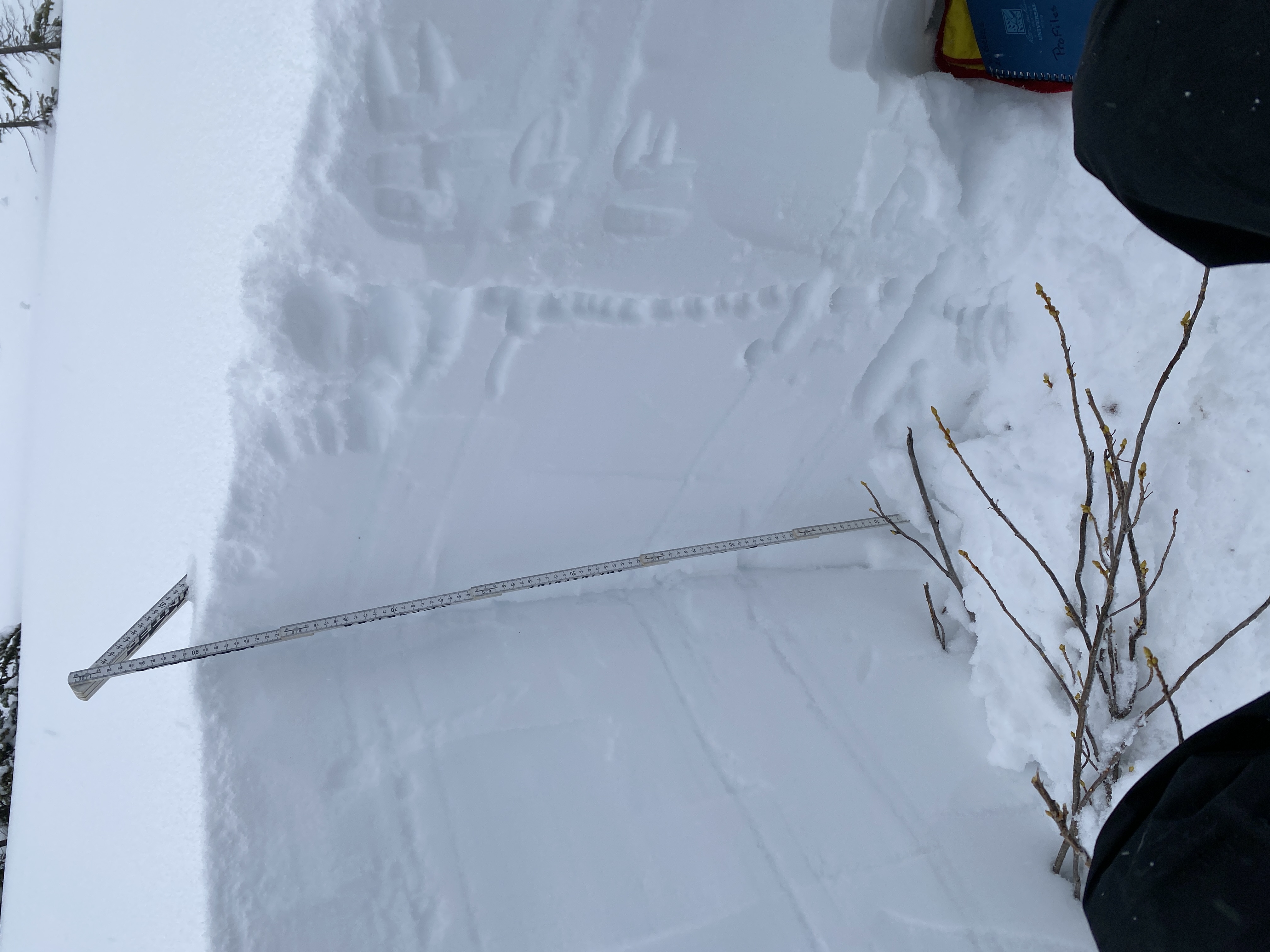
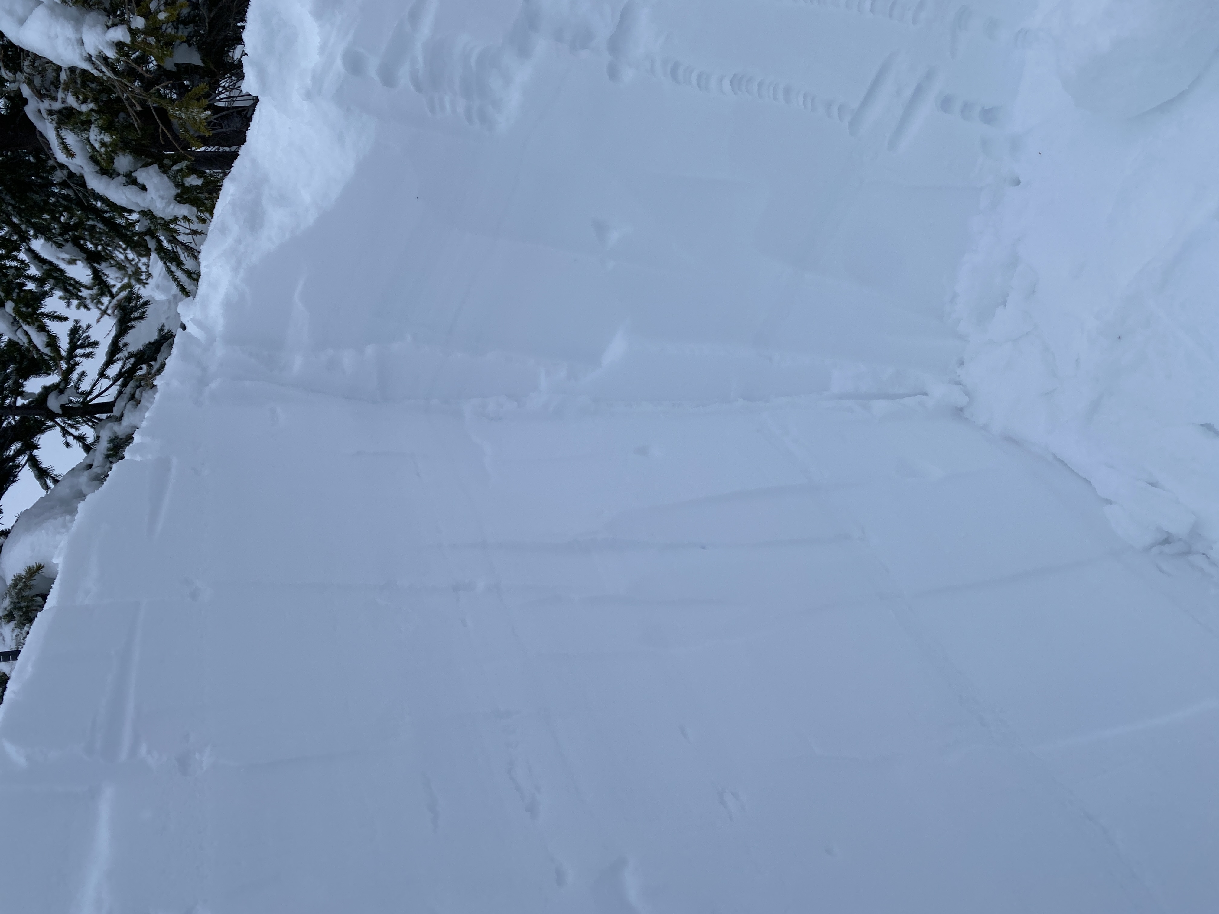
As expected similar results and similar snowpack structures on the other side of the Cariboo River. Profiles on West and North aspects showing results 60 - 90 cm’s down on the Dec 2 and Nov 24 SH/Fc layers. Both showing signs that the SH is mostly decomposing. BTL is below threshold until around 1500m in this zone and is completely isothermic. Snow surface remained moist until around 1680m where it was covered in the current new snow. By the end of the day this began to lock up and form a small crust.