
Stayed off the Face
Quick reportAvCan Vancouver Island · Mar 20, 2025 · Birkenhead
Quick report
- Weather
- cloudy
- Ride Type
- convexSlopes, denseTrees, mellowSlopes, openTrees
- Stayed Away
- alpineSlopes
- Riding Quality
- good
- Snow Conditions
- powder
- Avalanche Conditions
- avalancheConditionSlab, avalancheConditionSnow
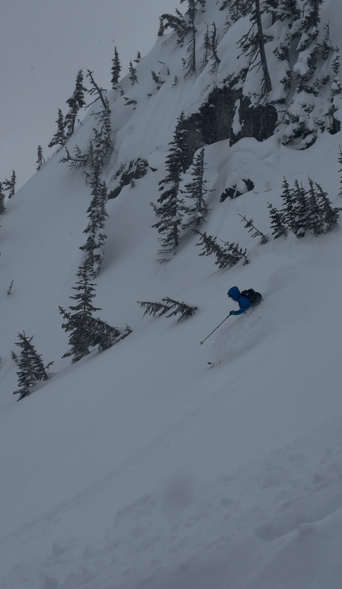
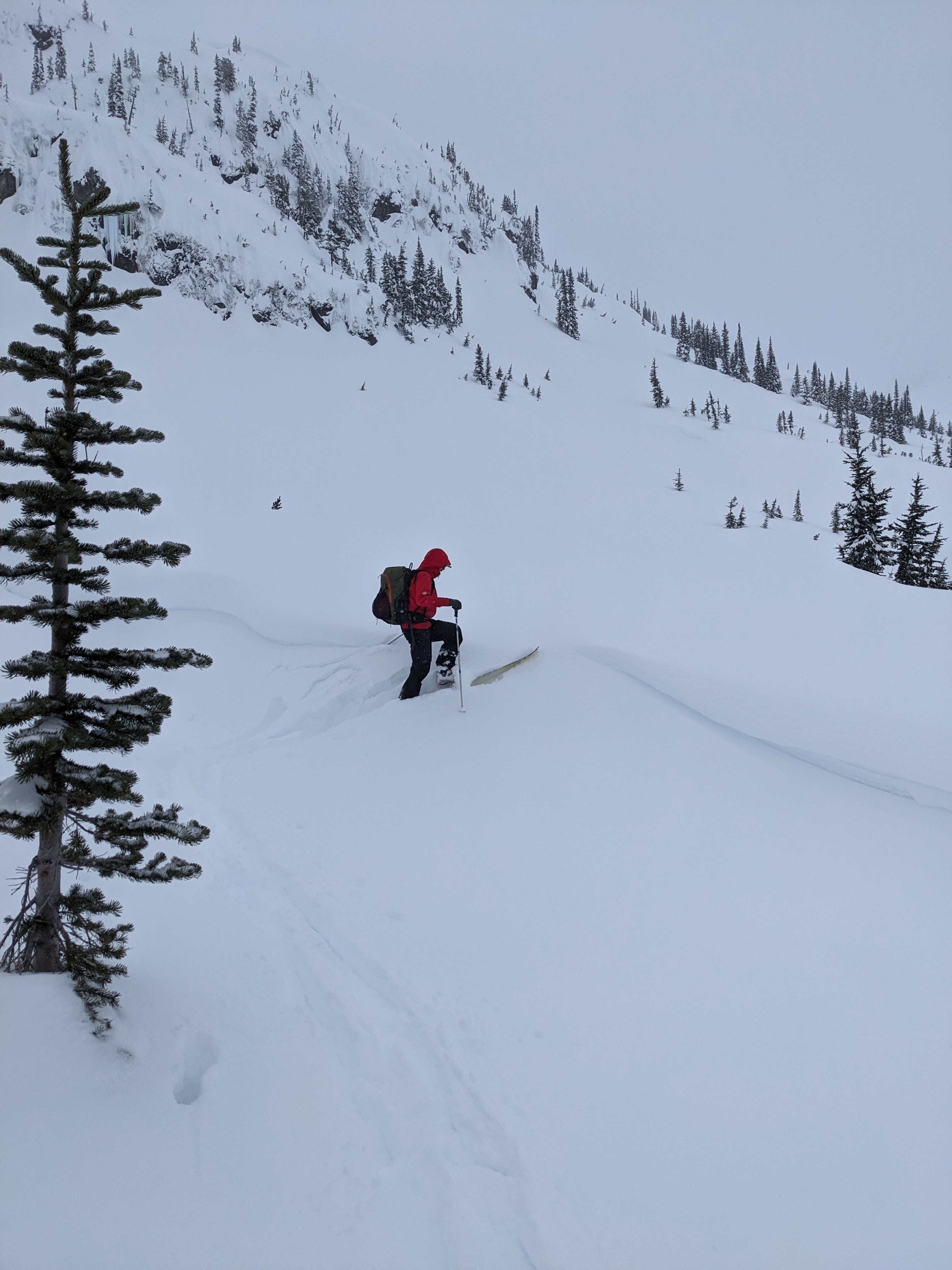
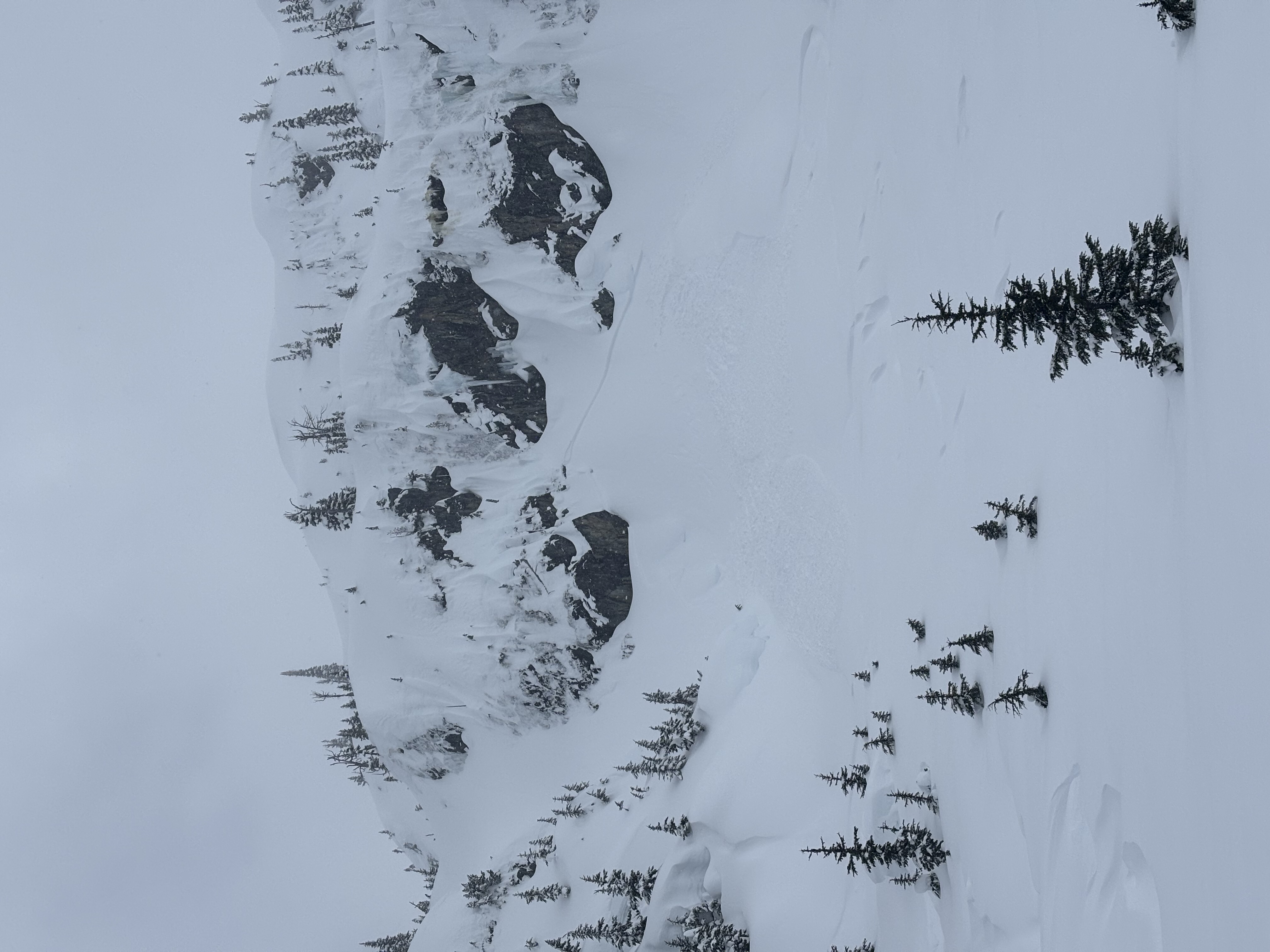
We headed to the Hurley to investigate the snowpack around the Face/Birkenhead... Staging was anywhere between 7 km and 9 km, but proper snow coverage doesn't begin until just after 9 km. We sledded to 1500m then transitioned to skis. The area got about 10 cm of new snow within the last 24 hours on top of 50ish cm from the weekend. We dug a profile on a WNW aspect in an open tree area, our result was: ECTN30 down 55 on a storm snow layer. This spot might be quite wind-loaded, in other spots the weak layer might be shallower. Wind was light to moderate with significant snow transport which could cover our tracks within an hour. We triggered some size 1 wind slab/ storm slab avalanches while ski cutting and observed a natural release size 1 wind slab on the lee side of cliff area. We enjoyed some nice mellow treeline storm skiing.
Weather
- Avg Temp
- -2
- Wind Speed
- windSpeedModerate
- Blowing Snow
- light
- Sky Condition
- overcast
- Snowfall Rate
- 1
- Wind Direction
- S
- New Snow24 Hours
- 10
- Temperature Trend
- steady
- Precipitation Type
- snow
Snowpack
- Depth
- 380
- Obs Type
- point
- Site Aspect
- NW
- Test Fracture
- unevenBreak
- Site Elevation
- 1620
- Ski Penetration
- 30
- Test Initiation
- hard
- Foot Penetration
- 40
- Test Failure Depth
- 55
- Site Elevation Band
- tln
- Surface Conditions
- newSnow
- Test Failure Layer Crystal Types
- stormSnow
Profile in open tree line; ECTN30 down 55 on Storm snow 10 cm of New snow from the last 24 hours on top of 40ish cm of rounded grains. With 1 cm of Storm snow crystals with an other 60 cm of progressively dense rounded grains on top of the melt freeze crust from Mid February
Avalanche
- Run Length
- 20
- Slab Width
- 10
- Trigger Type
- natural
- Wind Exposure
- leeSlope
- Avalanche Size
- 1
- Slab Thickness
- 40
- Trigger Sub Type
- intentional
- Start Zone Aspect
- NW
- Vegetation Cover
- openSlope
- Start Zone Incline
- 40
- Avalanche Character
- stormSlab, windSlab
- Number Of Avalanches
- 2-5
- Start Zone Elevation
- 1600
- Weak Layer Burial Date
- 2025-03-14
- Avalanche Observation
- 12hrsAgo
- Weak Layer Crystal Type
- stormSnow
- Start Zone Elevation Band
- btl
- Avalanche Occurrence Datetime
- 2025-03-20T20:00:00.000Z
size 1 natural release of wind slab on lee slope in steep terrain. size 1 storm slab/wind slab in westerly aspect triggered by ski cutting