
Glorious Junuary
Quick reportsouthrockies · Jan 14, 2026 · Crowsnest North
Quick report
- Weather
- sunny, warm, windy
- Stayed Away
- steepSlopes, sunnySlopes
- Riding Quality
- ok
- Snow Conditions
- crusty
- Avalanche Conditions
- avalancheConditionTemp
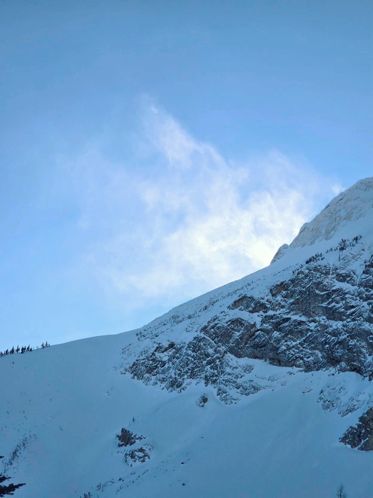
Today was all about verifying what happened to the snowpack after receiving precipitation during a warming period. Questions like: - How deep did the rain perculate into the snowpack? - How is the increased load impacting lower layers in the snowpack? We searched out a shallow snowpack area as weak layers that often form at the base of the snowpack tend to persist more in shallow snowpacks. With a significant warm up forecasted, we wanted to determine if this weak layer existed in shallow snowpack areas and if so decide if it may wake up as temperatures soar on the weekend. We saw no new avalanches today. There was a moderate to strong ridge-top wind keeping surfaces cool and only on steep solar facing slopes at lower elevations was the surface crust softening up.
Snowpack
- Depth
- 150
- Obs Type
- point
- Site Aspect
- E
- Site Elevation
- 2000
- Test Initiation
- none
- Site Elevation Band
- tln
- Surface Conditions
- crust
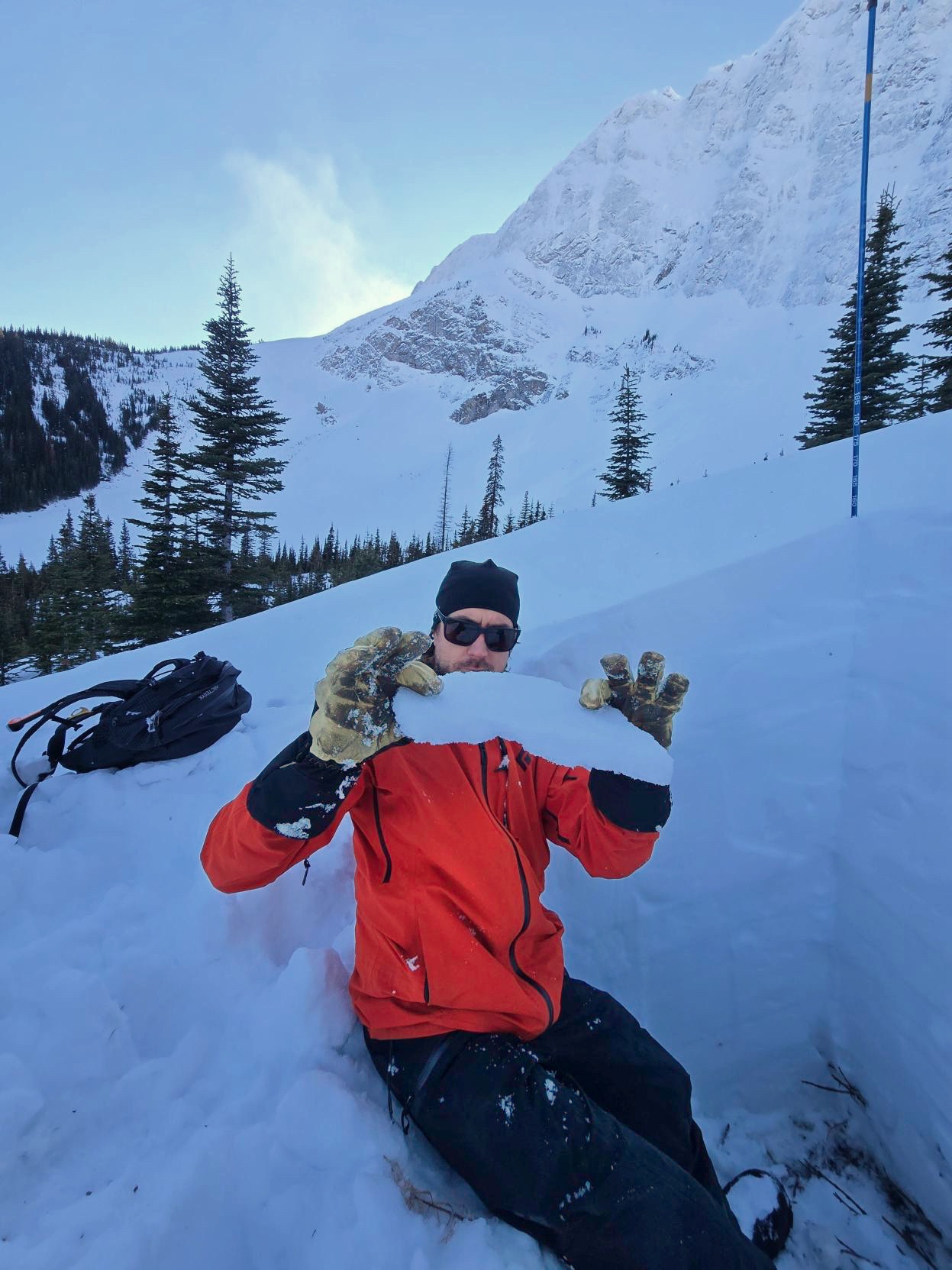
Our profile was roughly 150 cm (total snowpack depth) on an east facing slope at 2000 m. The surface snow was a 5 cm melt freeze crust, there was 30 to 40 cm of dry snow that sits on a crust formed around Christmas. Below this, the lower snowpack is a series of crusts and consolidated snow to ground. We had no results in our snowpack tests and no weak layers of concern.